Drone solutions
The real-time data you need to make more informed decisions.
Capabilities

Drone solutions for all your needs

Flexible aerial solutions that capture real-time data, site development and project progress at all project viewpoints. The best part is it comes at a fraction of the cost of a fixed construction camera or helicopter flight.


Aerial Video + Photography 


Flexible aerial solutions that capture real-time data, site development and project progress at all project viewpoints. The best part is it comes at a fraction of the cost of a fixed construction camera or helicopter flight.


Orthomosaic mapping is highly detailed, up-to-date, overhead aerial photography of a large site with extreme quality and resolution, that can be exported to a true to scale PDF.


Orthomosaic Mapping

 
Orthomosaic mapping is highly detailed, up-to-date, overhead aerial photography of a large site with extreme quality and resolution, that can be exported to a true to scale PDF.


Elevation mapping is a comprehensive color-coded terrain model that identifies the elevational site data.  


Elevation Mapping

 
Elevation mapping is a comprehensive color-coded terrain model that identifies the elevational site data.


Textured 3D Models are highly detailed, up-to-date, overhead aerial photography of a large site with extreme quality and resolution, that can be exported to a true to scale PDF.


Textured 3D Model

 
Textured 3D Models are highly detailed, up-to-date, overhead aerial photography of a large site with extreme quality and resolution, that can be exported to a true to scale PDF.


Volume Measurement provides comprehensive, accurate and cost-effective method of measuring and analyzing stockpiles and earthwork.  


Volume Measurement

 
Volume Measurement provides comprehensive, accurate and cost-effective method of measuring and analyzing stockpiles and earthwork.


Point cloud mapping offers a 3D visualization made up of millions of georeferenced points. Point clouds are the simplest and most accurate way to capture reality in a 3D environment and can be used to track site progress against the planned construction schedule.


Point Clouds

 
Point cloud mapping offers a 3D visualization made up of millions of georeferenced points. Point clouds are the simplest and most accurate way to capture reality in a 3D environment and can be used to track site progress against the planned construction schedule.


360 Photos

360 photos provide interactive 360-degree images of a site and surroundings areas. 360 photos can also highlight future lines of sight, skyline views and can be shared via social media for sales and marketing purposes.


Theremal maps illustrate color-coded temperature variances on surfaces. This imagery provides immediate data to target building enclosure heat loss problem areas quickly.


Thermal Mapping

Thermal maps illustrate color-coded temperature variances on surfaces. This imagery provides immediate data to target building enclosure heat loss problem areas quickly.


Site surveying achieves survey-grade accuracy site maps to help visualize design plans with actual site conditions and up-to-date grading contours at a fraction of the typical cost. Often used to make better-informed decisions on site selection and building placement.


Site Survey

Site surveying achieves survey-grade accuracy site maps to help visualize design plans with actual site conditions and up-to-date grading contours at a fraction of the typical cost. Often used to make better-informed decisions on site selection and building placement.


Contact Us Get in Touch

YOUR PROJECT. OUR PRIORITY.® | We'd love to hear from you and look forward to learning more for discovering how to build community by connecting you with integrated commercial construction expertise.

***

Follow C.D. Smith ON SOCIAL

#CDSmith #ThinkSafeWorkSafe

C.D. Smith Construction Management Design-Build General Contractor Preconstruction Commercial Construction Trades on FacebookC.D. Smith Construction Management Design-Build General Contractor Preconstruction Commercial Construction Trades on LinkedInC.D. Smith Construction Management Design-Build General Contractor Preconstruction Commercial Construction Trades on InstagramWebsite - Twitter - Icon-01C.D. Smith YouTube Videos Construction Management Design-Build General Contractor Preconstruction Commercial Skilled Trades


About C.D. Smith

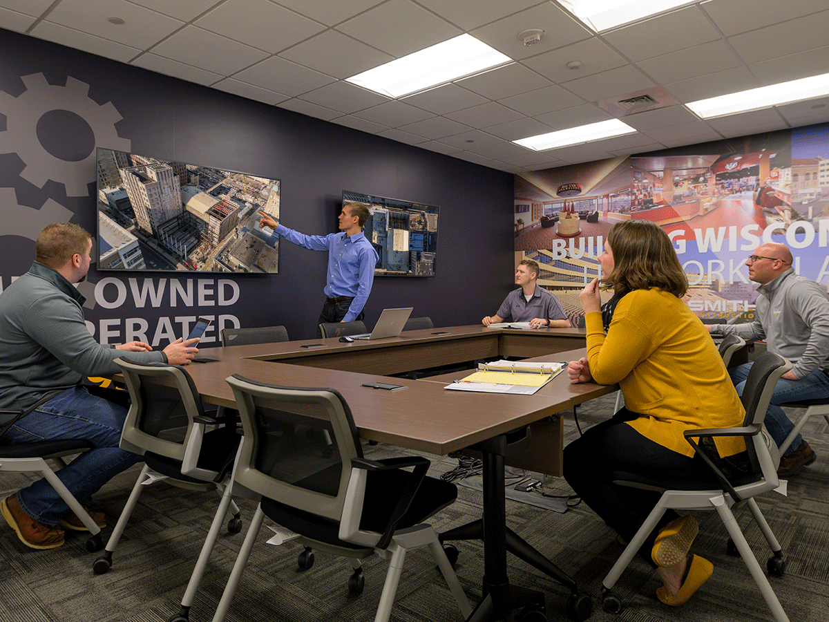
C.D. Smith Construction is an industry leader in safely providing the highest quality commercial construction services. Utilizing an integrated approach and self-performing trade services combined with technical expertise, our team serves as a solutions provider throughout all phases of a project, from planning through construction. With veteran leadership and a dedication to our employees and clients, we proudly place our name on projects of all sizes across the United States.

Visit www.cdsmith.com or follow us on Facebook, Twitter, LinkedIn, Instagram and YouTube.

Contact Us


Beneath the Hard Hat®, our company press and blog, offers an intimate look at the people and stories that make C.D. Smith Construction. With the latest industry news and project updates, we share insights on the superior spaces we are safely delivering year-round. Our team of technical experts provides useful tips and topics to help plan your next commercial project.

Subscribe to Beneath the Hard Hat For news, insights and updates from our blog

---

TRADE PARTNERS & BIDS |If you're interested in working with us or would like to request adding your company to our bidder’s database, please complete our Trade Partners & Bids Form: Click Here.


C.D. Smith offers drone camera views to help you make more informed decisions. These features include aerial video and photography, orthomosaic mapping, elevation mapping, textured 3D model, volume measurement, point clouds, 360 photos, thermal mapping, site survey. Building owners require project updates and stationary construction cameras have long been the norm in capturing site conditions and progress. However, they are costly and limited in scope. Drone photos and video offers flexible and customizable aerial perspectives and insights that stationary cameras simply cannot capture, and in a lot of cases, can do so at a fraction of the cost.

Value-added uses

Why turn to drones?


Building owners require project updates and stationary construction cameras have long been the norm in capturing site conditions and progress. However, they are costly and limited in scope. Drone photos and video offers flexible and customizable aerial perspectives and insights that stationary cameras simply cannot capture, and in a lot of cases, can do so at a fraction of the cost.


Common owner use cases:

  • Board of director updates
  • Promotional videos
  • Public awareness
  • Tenant sales
  • Future building views and site selection for development
  • 180- or 360-degree tenant perspective visualizations from each floor
  • Building models with neighborhood context

Contact Us Get in Touch


Project portfolio

Skilled pilots to meet your needs


Kewaskum  Schools

The Kewaskum Middle/High School project involved the construction of a 92,890 SF middle school addition that connects to the existing high school. The new facility boasts numerous collaborative learning spaces, including a new tech ed wing that combines the shop classes with an open learning concept so that staff can teach students while others are working in the shop space. In addition to other office and classroom additions, a two-story collaborative learning area opens from an outdoor auditorium up to the library.


Marian University

The Dr. Richard and Leslie Ridenour Science Center Addition project called for the transformation of the existing 50+ year old science building into an open, student-focused learning center. The updated facility was necessary to accommodate growth in Marian’s STEM programs, such as biology, chemistry, forensic science and math. 


Secura Insurance

C.D. Smith was awarded preconstruction and construction management services for SECURA Insurance’s new nearly 300,000 SF facility in the Village of Fox Crossing, which will serve as the company’s new corporate headquarters. The new facility will have immediate room for 900 employees and has been designed to accommodate future growth. 


C.D. Smith offers drone camera views to help you make more informed decisions. These features include aerial video and photography, orthomosaic mapping, elevation mapping, textured 3D model, volume measurement, point clouds, 360 photos, thermal mapping, site survey. Building owners require project updates and stationary construction cameras have long been the norm in capturing site conditions and progress. However, they are costly and limited in scope. Drone photos and video offers flexible and customizable aerial perspectives and insights that stationary cameras simply cannot capture, and in a lot of cases, can do so at a fraction of the cost.

WANT TO LEARN MORE? 

C.D. Smith has FAA licensed, trained and insured drone pilots on staff to support your all needs. Contact us for help in selecting a package that fits your requirements and project scope.


Contact Us Get in Touch


Get in Touch

Corporate Headquarters
125 Camelot Drive
Fond du Lac, WI 54935

Milwaukee Office
8325 W. Tower Ave
Milwaukee, WI 53223

Madison Office
316 West Washington Avenue
Suite 900 
Madison, WI 53703

La Crosse Office
333 Front Street North
Suite 701 
La Crosse, WI 54601

Ready to build community and get connected with commercial construction expertise? Use the below form to submit questions or request information. We look forward to learning more and discovering how we can make YOUR PROJECT. OUR PRIORITY.®.